Operational Domains
Where We Deploy

01
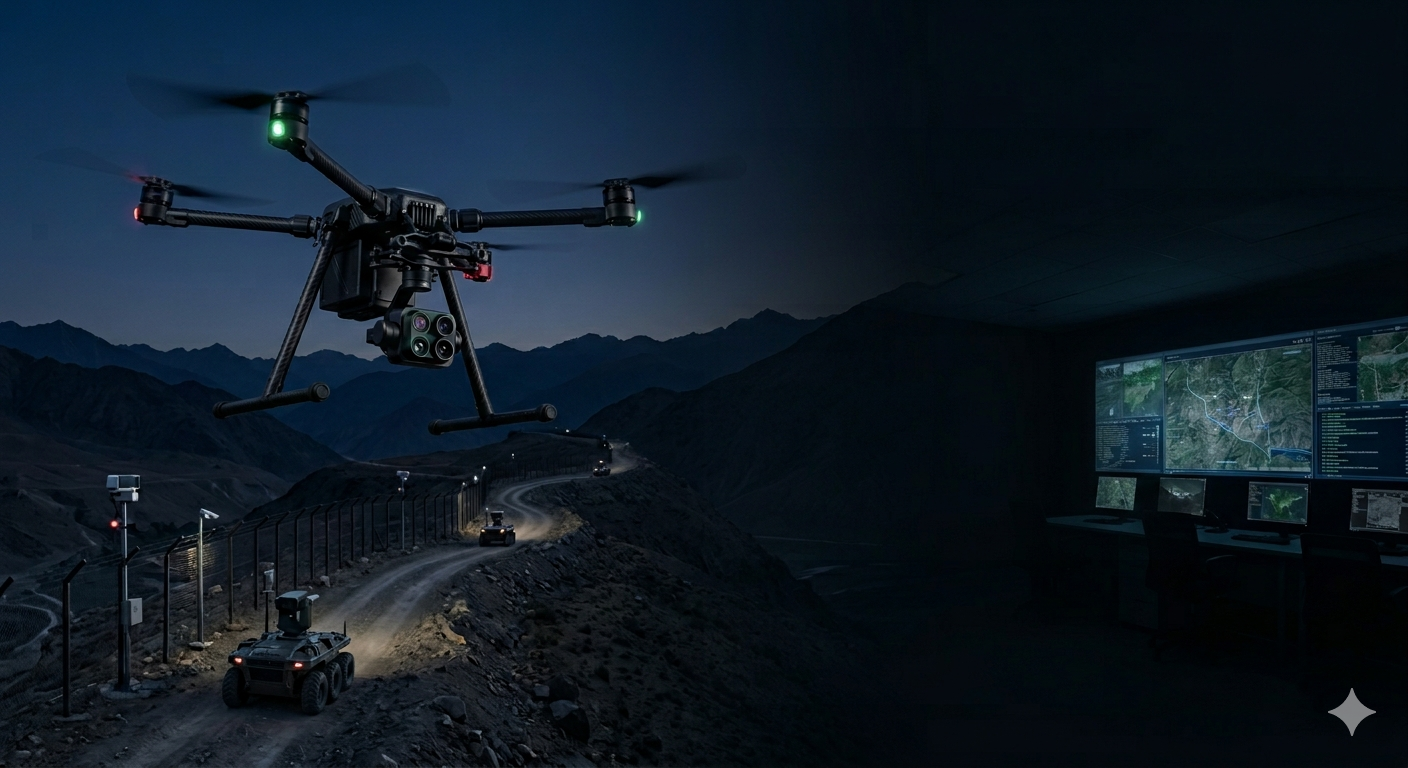
Land Borders
Mountain, desert and forest perimeter systems for continuous land border protection.

02
Coastal & Maritime
Over-horizon radar, vessel tracking and autonomous coastal patrol systems.

03
Airports & Airspace
Counter-drone, perimeter security and airspace monitoring for critical aviation infrastructure.

04
Critical Infrastructure
AI monitoring for power grids, pipelines, communication nodes and industrial facilities.

05
Urban & Smart Cities
Integrated city-scale video analytics, crowd intelligence and emergency coordination.

06
Satellite Intelligence
LEO imagery integration, orbital communications and space-based reconnaissance feeds.